 Djinious


National reference data, in three dimensions
Extrude a building layer by its own height attribute and read the city as volume rather than as outlines.
 DjiniousMap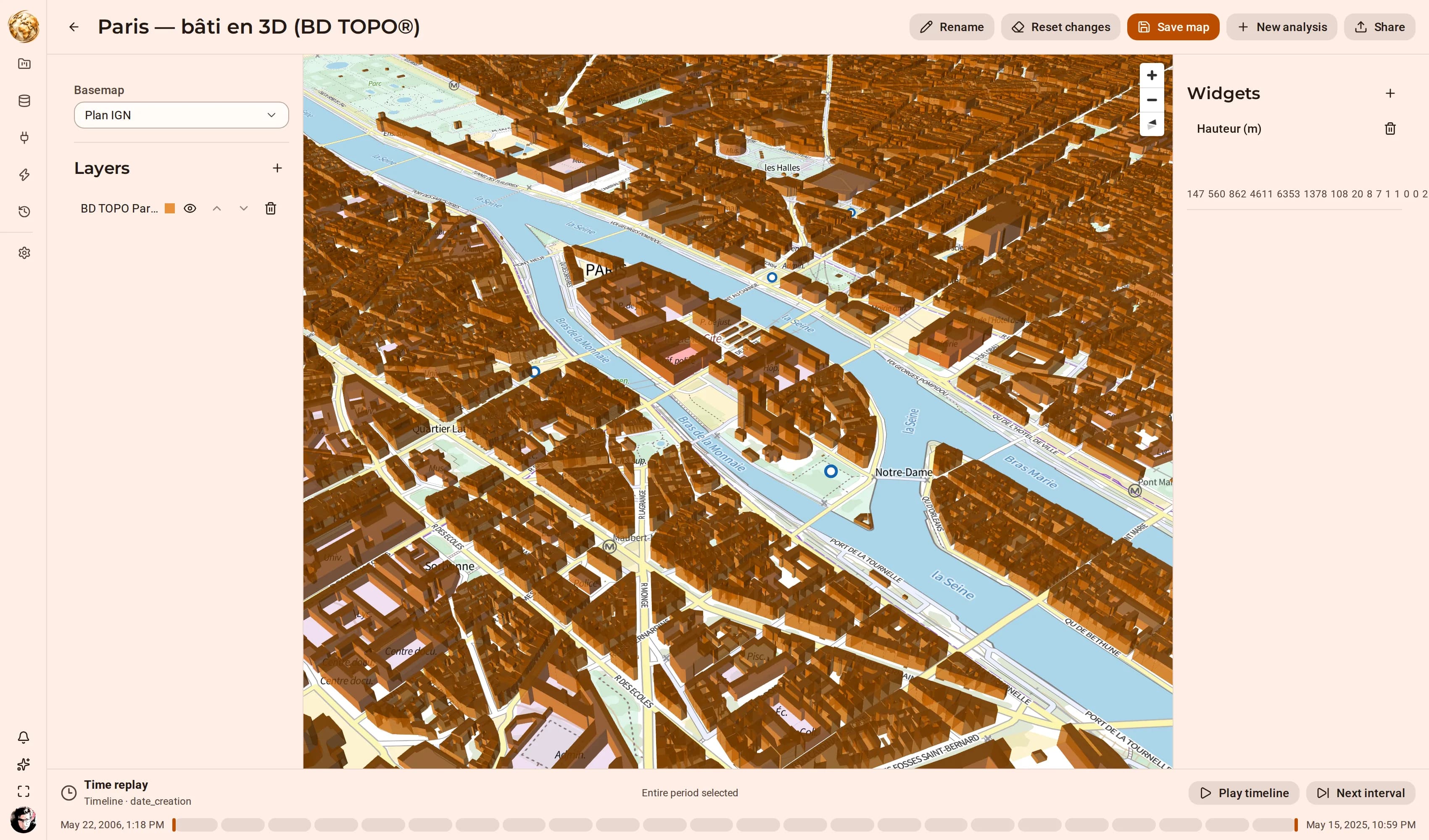
- buildings in the extruded layer
- 606,667buildings in the extruded layerBD TOPO® · Paris
- default exaggeration
- 1default exaggerationthe volume is the building’s own
BD TOPO ships building footprints with a measured height on every feature. Extruding by that column turns a polygon layer into a massing model — useful for anything where what matters is above ground: sightlines, solar exposure, shadow, or simply explaining a site to somebody who does not read plans.
The extrusion is part of the saved map document, so the view is versioned and shareable like any other. Exaggeration 1 is the default on purpose: scaling a measured height makes a nicer picture of something that is no longer true.
How it runs
Materialize
Extract the departmental BD TOPO layers and materialize them.
MaterializationExtrude
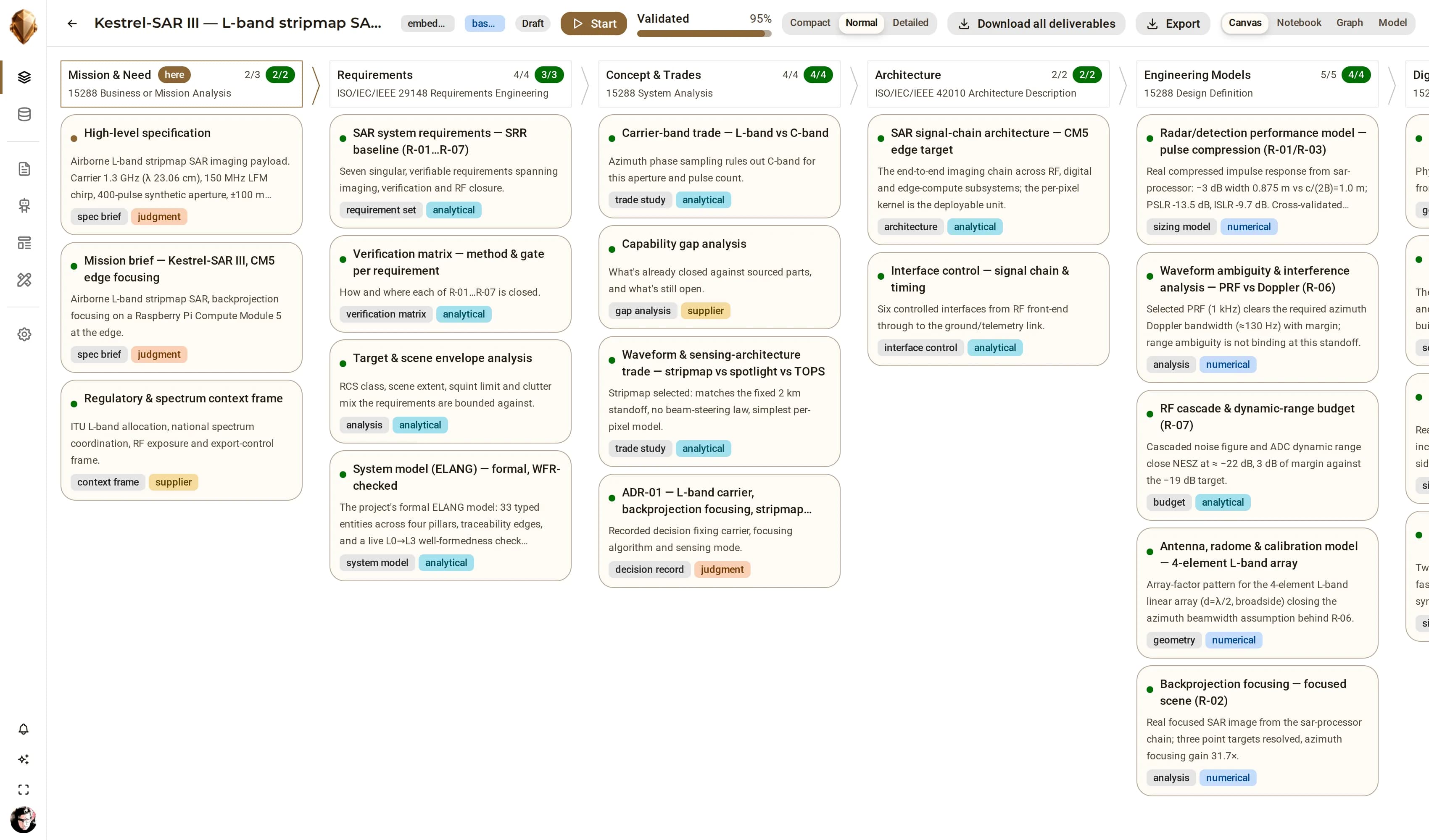
Add the building layer and set “Extrude by” to its height column.
3D extrusionPitch the camera
The layer renders as volume, cross-filtered like any other.
Map studioPublish
Publish the map version and share it.
Versioned assets
Keep exploring
Related use cases
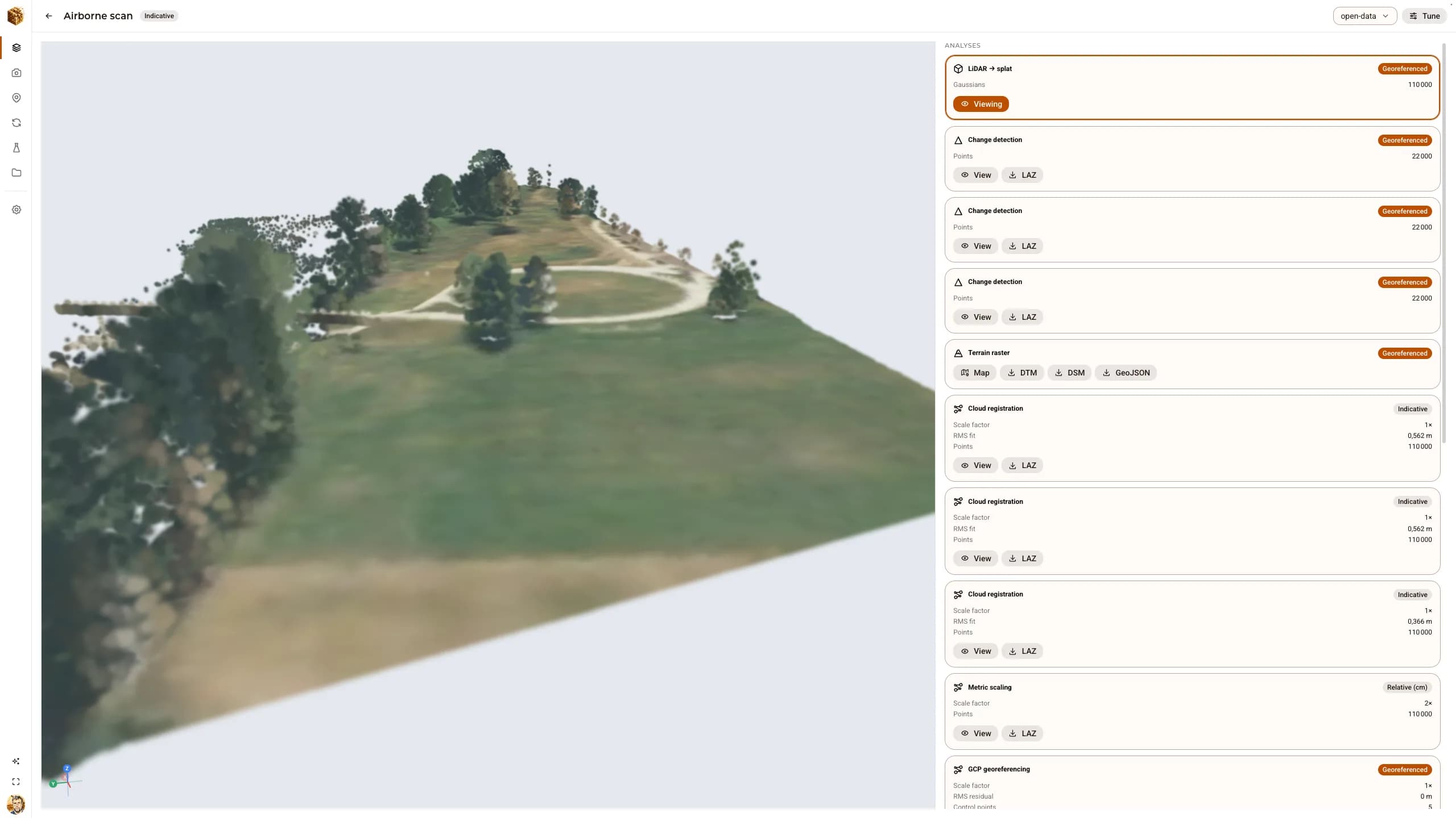 Reality captureOpen data in, graded replicas out: airborne LiDAR, real photographs and a laser scanDjiniousWorld was validated end to end on public datasets — the Autzen airborne LiDAR cloud, the Middlebury temple photographs and the ETH3D “pipes” scene — every step driven through the API, every result carrying the accuracy grade it earned.
 DjiniousWorldProperty · DVF and cadastreProperty and land valueReconcile transaction records against cadastral boundaries and publish the result as a layer the whole team reads the same way.DjiniousMap
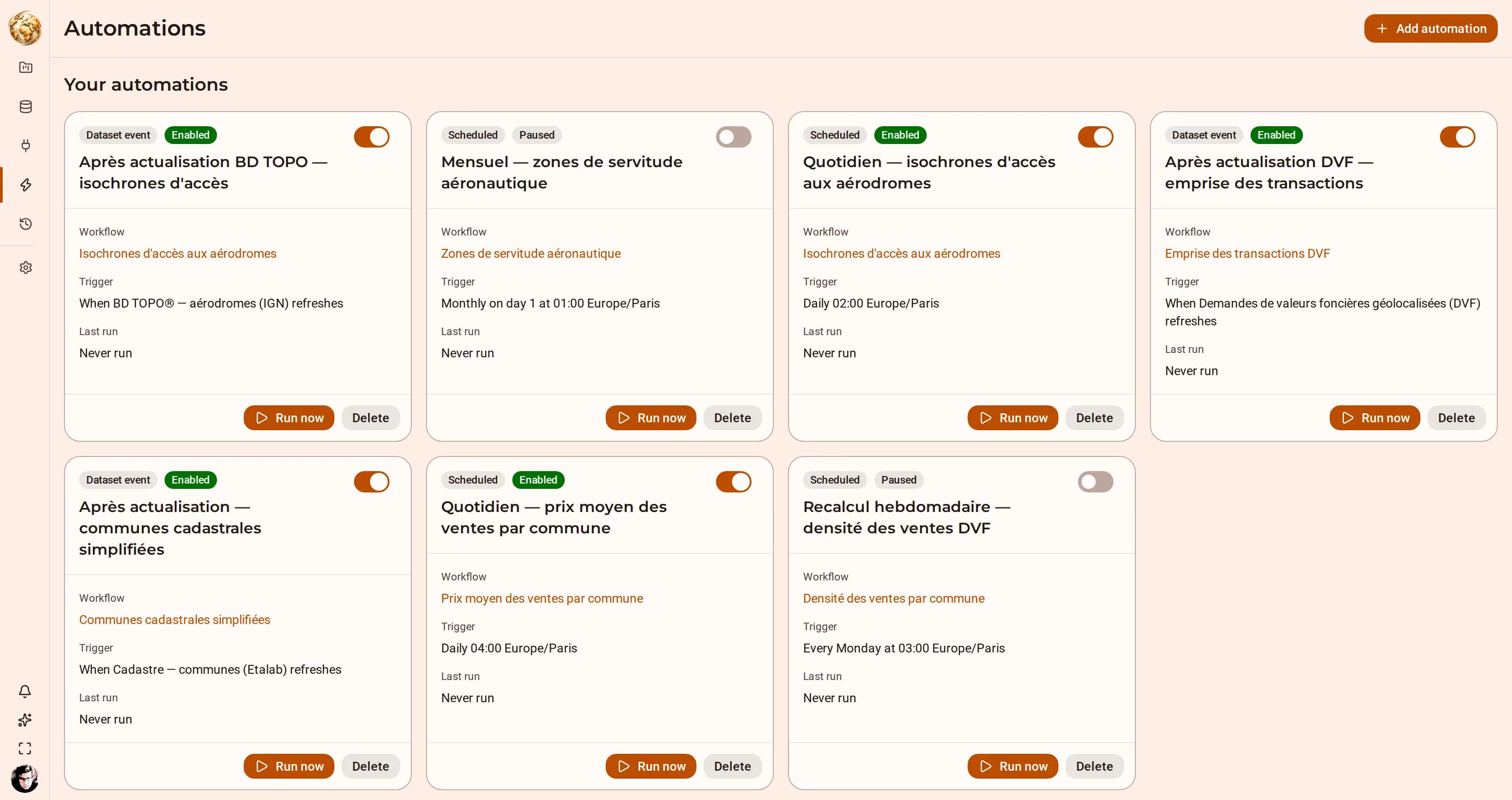 Territory · isochrones and routingAccess and service coverageAnswer “what is within twenty minutes of here” for every site in a layer, and keep the answer current as the source moves.DjiniousMap