 Djinious


Municipal asset inventories
Bring the small, messy, locally-published datasets together — and find out which of them can be trusted before you draw them.
 DjiniousMap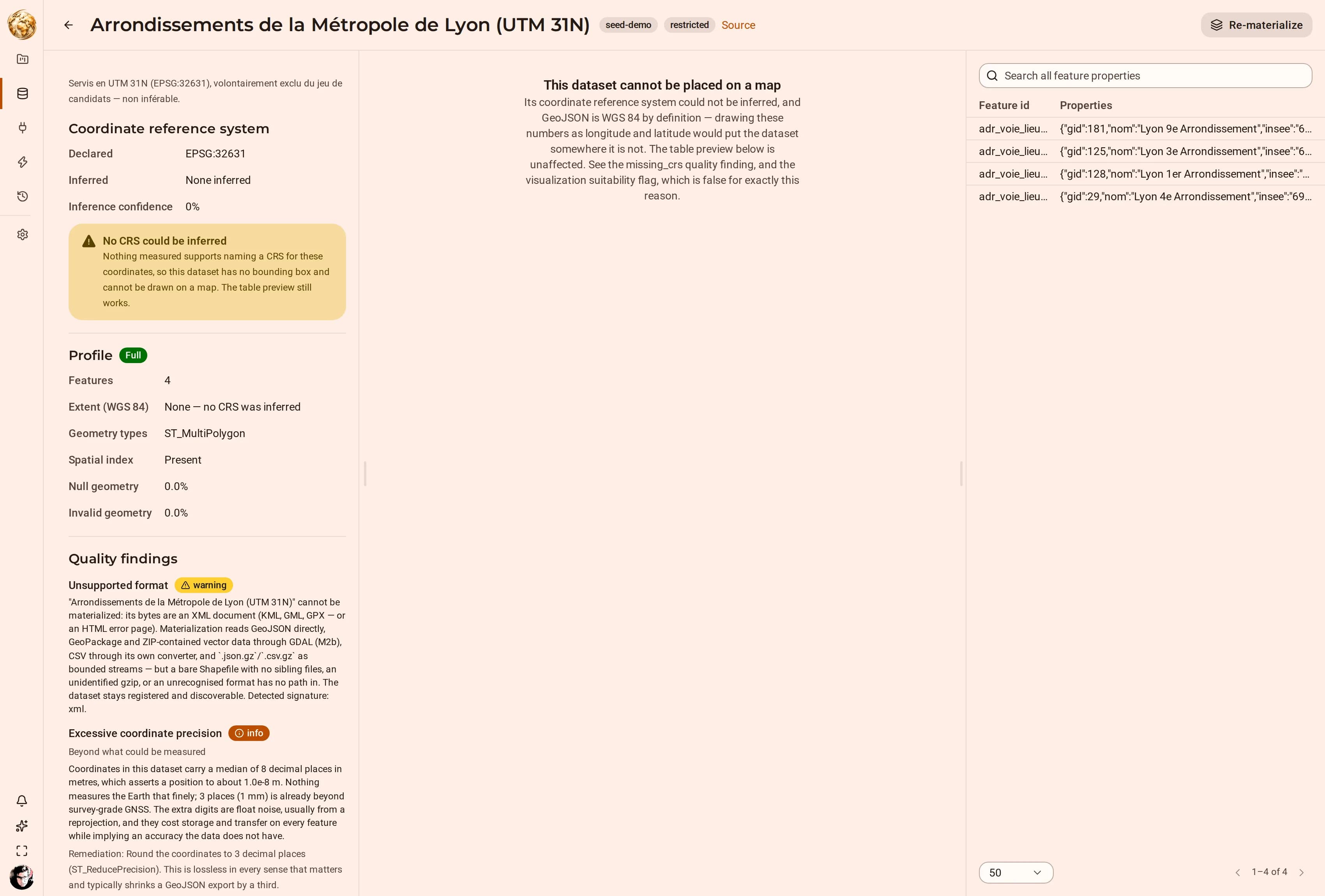
A municipality’s own open data is where CRS problems live: a layer served in Lambert-93 but declared as WGS 84, another with coordinates carrying nine decimal places of false precision, a third whose newest date is from 2005.
The profiler reports each one, with the reasoning and the remediation, and refuses to place the ones it cannot read. That refusal is the feature: a map that silently drew them would put a cycle network in the Gulf of Guinea.
How it runs
Register and materialize
Register each source and materialize it.
HarvestRead the quality card
Declared vs measured CRS, precision, freshness.
CRS inferenceDecide each finding
Fix or accept each finding — the platform never silently corrects one.
Quality findingsCompose what survives
Compose what survives into one map, with cross-filtering widgets.
Map studio
Two ways a declared CRS can be wrong
DjiniousMap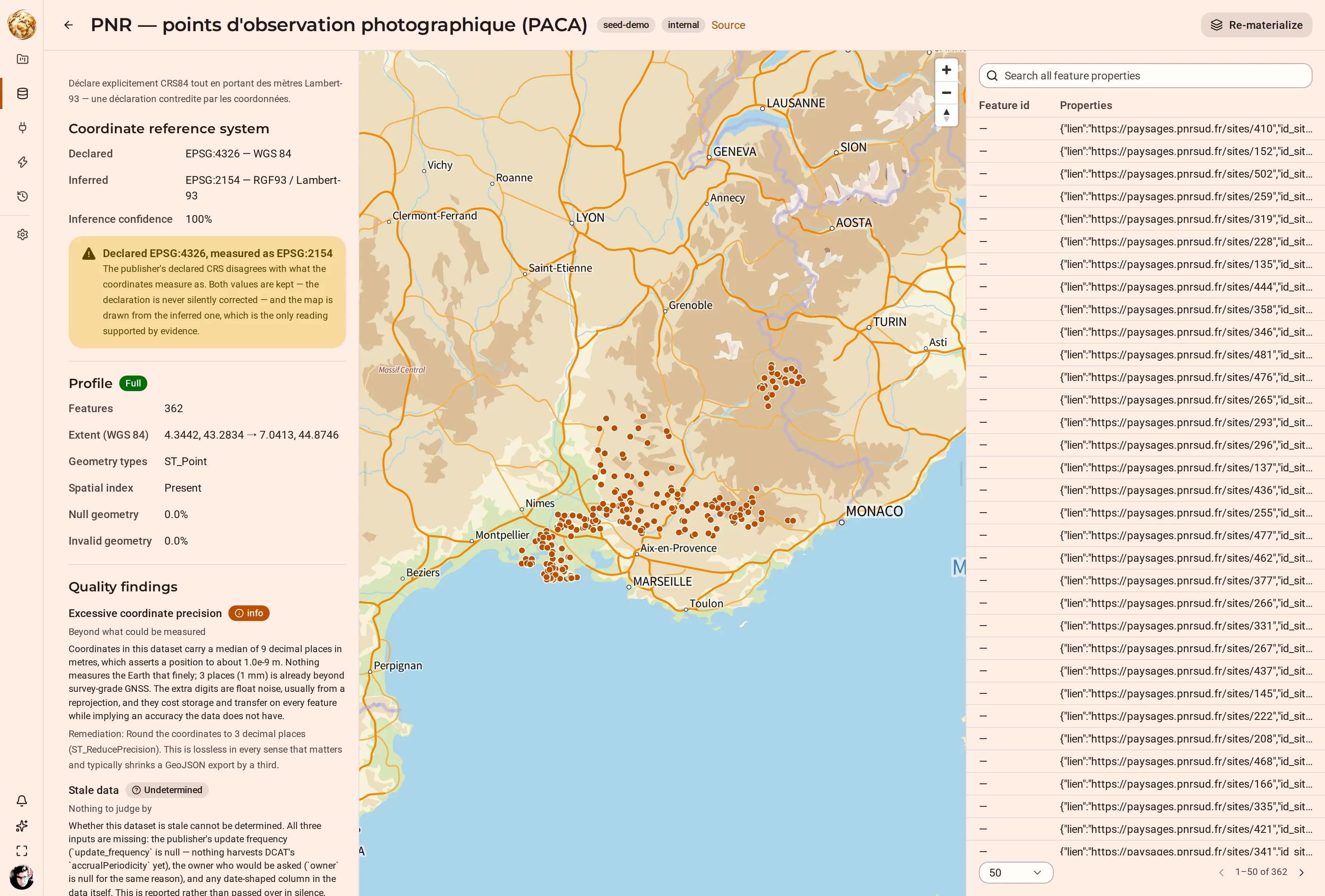 DjiniousMap
Keep exploring
Related use cases
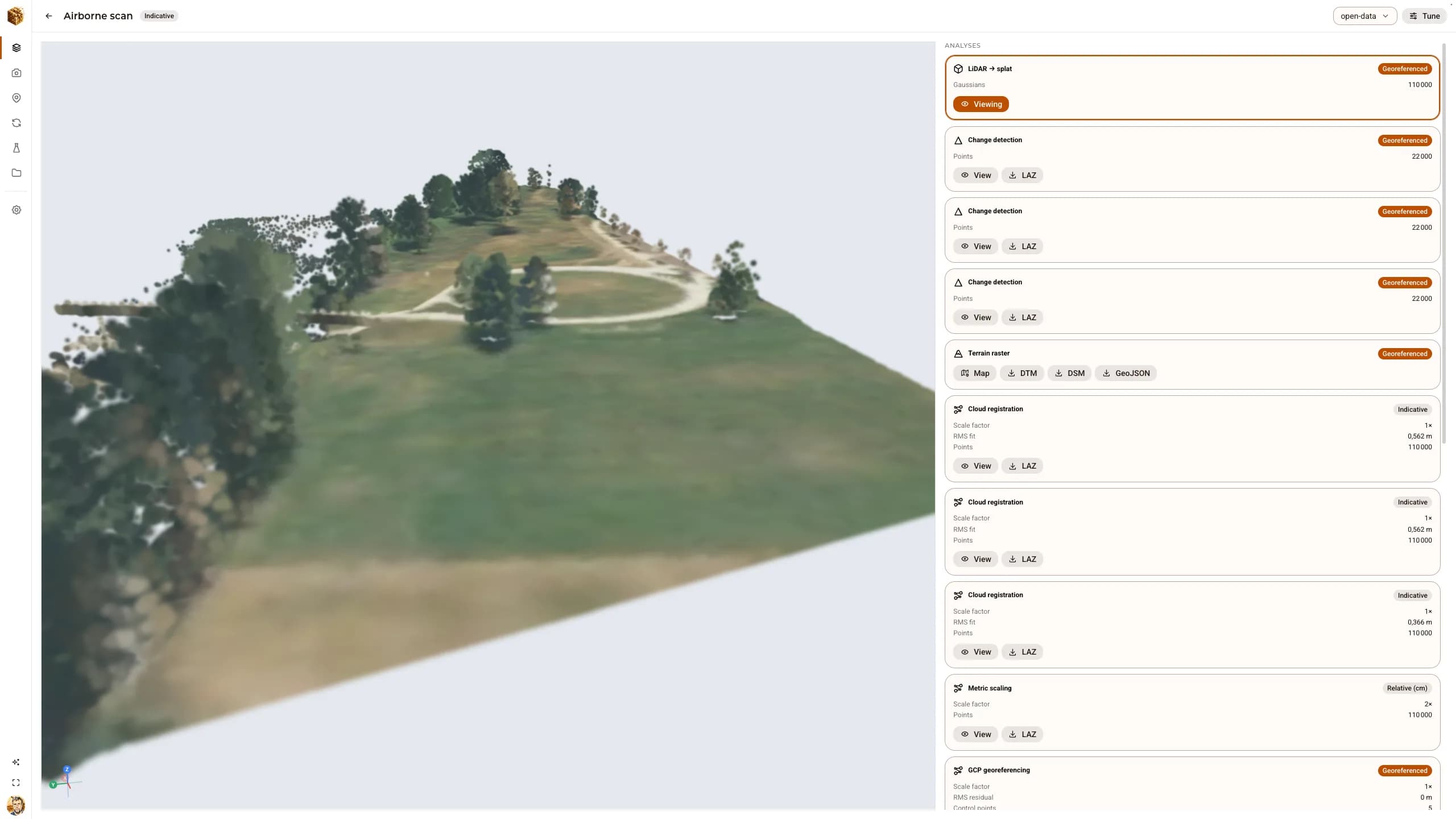 Reality captureOpen data in, graded replicas out: airborne LiDAR, real photographs and a laser scanDjiniousWorld was validated end to end on public datasets — the Autzen airborne LiDAR cloud, the Middlebury temple photographs and the ETH3D “pipes” scene — every step driven through the API, every result carrying the accuracy grade it earned.
 DjiniousWorldProperty · DVF and cadastreProperty and land valueReconcile transaction records against cadastral boundaries and publish the result as a layer the whole team reads the same way.DjiniousMap
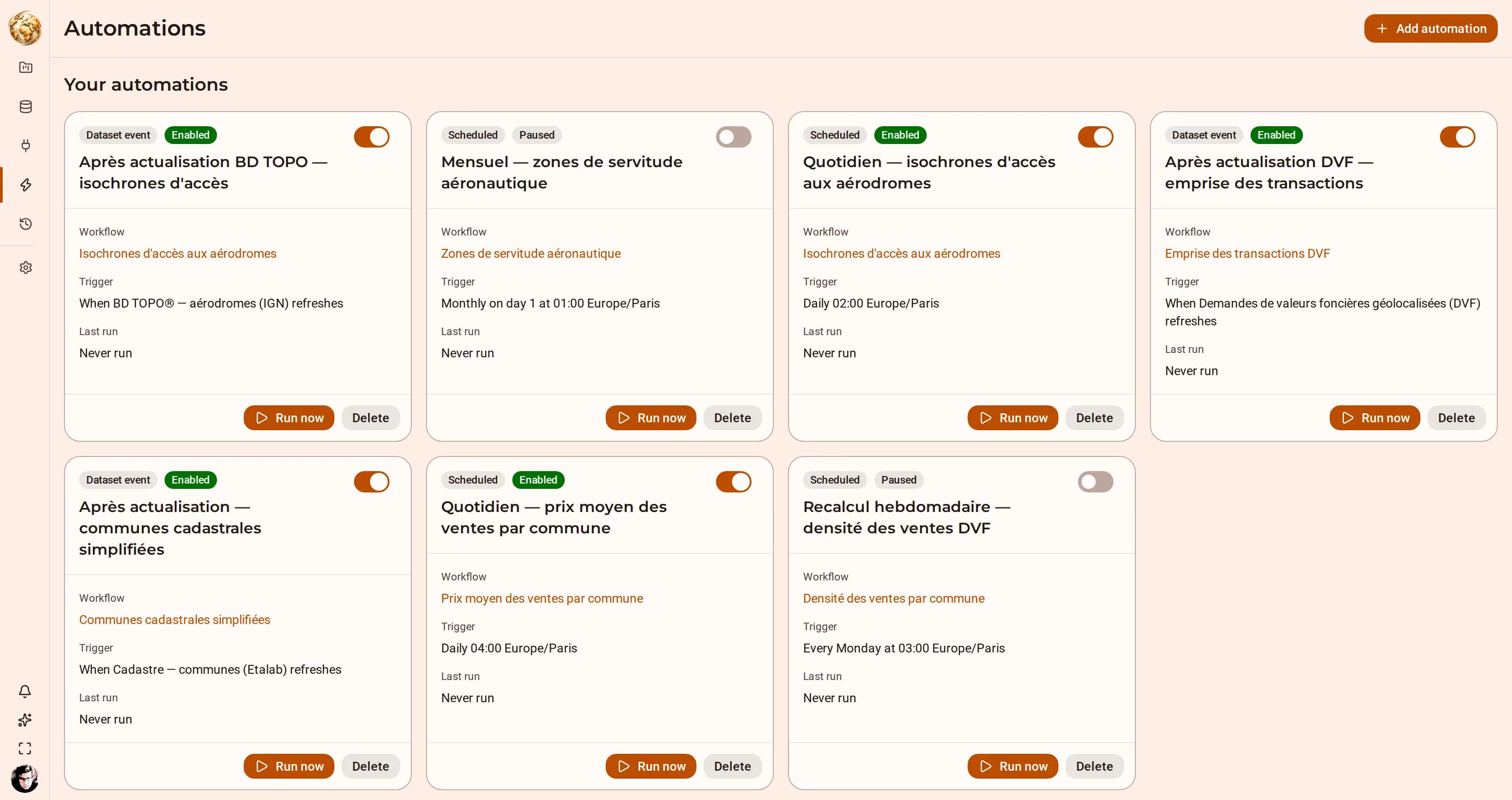 Territory · isochrones and routingAccess and service coverageAnswer “what is within twenty minutes of here” for every site in a layer, and keep the answer current as the source moves.DjiniousMap